TECHNOLOGY
Leaflet Services
Create powerful, interactive maps with Sourcetoad and Leaflet.

Your Journey with Leaflet Starts Here
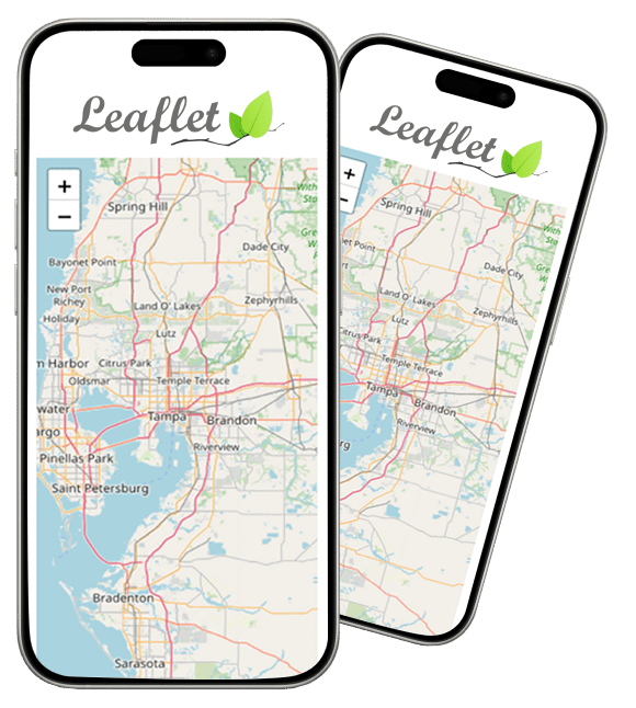
Leaflet is an open-source JavaScript library that allows developers to easily create mobile-friendly, customizable maps. With Leaflet, Sourcetoad’s developers can help you create maps that seamlessly integrate with your website or mobile app, providing your users with a truly immersive experience.
Sourcetoad’s experts have used Leaflet for diverse mapping solutions, including:
Travel and Tourism:
We’ve created maps that showcase tourist attractions, popular destinations, and local amenities, helping travelers plan their trips with ease.
Real Estate:
Our team has built custom maps for real estate companies that display property listings, neighborhood data, and local points of interest.
Logistics and Delivery:
We’ve developed maps that display delivery routes, track shipments in real-time, and provide accurate delivery estimates.
Environmental Monitoring:
Our developers have used Leaflet to build maps that track environmental data, such as air quality, water levels, and wildlife populations.
Education:
We’ve created interactive maps that help students learn about geography, history, and culture in an engaging and interactive way.
Leaflet Mapping Solutions
Real-time traffic analysis:
Leaflet can be used to build a real-time traffic analysis system that collects data from various sources, such as GPS devices and traffic sensors. The system can then use this data to generate visualizations and predictions of traffic patterns, enabling users to optimize their routes and avoid congested areas.
3D mapping:
With the help of plugins like Leaflet-3D, Leaflet can be extended to support 3D mapping applications. This can be used to create interactive 3D models of cities, buildings, and other landmarks, enabling users to explore them in detail.
Disaster management:
Leaflet can be used to build a disaster management system that tracks the location and severity of natural disasters, such as hurricanes, earthquakes, and wildfires. The system can then be used to coordinate rescue and relief efforts and provide real-time updates to affected populations.
GIS mapping:
Leaflet can be used as a foundation for building geographic information systems (GIS) that provide spatial analysis and visualization capabilities. This can be used for a variety of applications, including urban planning, environmental monitoring, and asset management.
Indoor mapping and navigation:
Leaflet can be used to build an indoor mapping and navigation system that provides turn-by-turn directions and information about points of interest inside buildings, such as airports, hospitals, and shopping malls. This can be particularly useful for people with disabilities or those who are unfamiliar with the layout of a building.
How We Help Our Clients
No matter what your specific needs are, our team at Sourcetoad can work with you to develop a custom solution that meets your goals and exceeds your expectations. With our expertise in Leaflet, we can help you create a map that is both functional and visually stunning, providing your users with an exceptional experience.